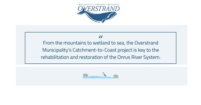
This World Wetlands Day, we invite you to explore the Onrus Catchment to Coast (C2C) Project through our newly launched interactive StoryMap on the Overstrand Municipality’s website.
Developed under the United Nations Environment Programme (UNEP) Generation Restoration Project, the StoryMap showcases the strategic planning work undertaken to rehabilitate, restore, and protect key ecosystems across the Onrus catchment (from river systems to coastal environments).
The UNEP-supported phase focused on strategic planning and a situation assessment, aimed at understanding the current state of the catchment and identifying priorities to guide future restoration and rehabilitation efforts.
The StoryMap highlights the key achievements of this planning phase, including assessments, planning processes, and identified priority actions for eventual implementation. It also reflects additional achievements that emerged as a result of the project, such as strengthened partnerships, increased alignment between stakeholders, and the leveraging of further support to advance on-the-ground restoration beyond the planning phase.
By combining maps, visuals, and key project insights, the StoryMap offers a comprehensive and accessible overview of the C2C project, showcasing the planning efforts that will guide future actions in the catchment area.
Take a moment to explore the StoryMap on the world-renowned Onrus Peat Wetland- a 10 000-year-old ecosystem once covering 58 hectares, and the third oldest and deepest peatland in South Africa. Home to endemic palmiet, it plays an essential role in naturally filtering water, regulating flow, and mitigating floods.
True to its Afrikaans name, “restless,” the Onrus River is ever-turbulent. As you may recall, in September 2023, heavy rains overwhelmed the degraded wetland, washing peat and palmiet downstream, damaging infrastructure, and leaving Hermanus without water for five days.
While lost peat cannot be replaced, rehabilitation is crucial to safeguard biodiversity, reduce future flood damage, and ensure the catchment’s resilience in the face of climate change.
Explore the StoryMap
To learn more and view the project insights, visit the Overstrand Municipality website:
www.overstrand.gov.za > GIS Mapping > Click on Road to Rehabilitation tab
Or directly access the StoryMap here
